Mause Creek Tarns/Tanglefoot Lake - Recreation Sites and Trails BC (one way distances)
Columbia Valley Greenways Trail Alliance
East of Fort Steele
-
4.47 km
Distance
-
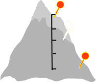
500.26 mElevation Gain
-
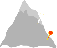
1755.55 mTrail Head Elevation
-
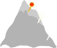
2254.50 mMaximum Elevation
-
518.46 mCumulative Elevation

-
5-7 hour(s)
Average Time

Trail Description
This hike is a local favourite. The trail starts on an old road with a couple of creek crossings in the first 15 minutes, one on a bridge, the other a rock-hop with the potential for wet boots. The trail is wide and often littered with debris from avalanches that thunder down the surrounding slopes. After the second creek crossing, the trail heads up a slope then goes back to the old road. There’s one more creek crossing and then the trail enters an open meadow filled with flowers. This wet, lush area is where you will find the Mause Creek Tarns. It’s a great place to stop if you are looking for just a half day outing. The trail to Tanglefoot Lake leaves the valley bottom just north of the last tarn. It follows a zig-zag path up a talus slope in a northeast direction. It’s a steep trail, gaining 150 m of elevation in just 500 m to Tanglefoot Pass. Hike down the other side to reach Tanglefoot Lake. Take some time to explore the lake, enjoy the wildflowers and the view of Mount Fisher to the northwest before returning or continuing on the Five Passes Loop Trail (see separate description.)

Directions to Trail Head
From the Invermere junction on Highway 93/95, head south for about 114 km. Turn left onto the Wardner-Fort Steele road at the Esso station just before you get to Fort Steele. At 116 km turn left onto Mause Creek Road. At 118.4 km take the left fork onto Boulder Creek Road. At 120 km continue straight through a 4 way cross roads. At 126 km you will pass the Mount Fisher trailhead. The Mause Creek/Tanglefoot Lake trailhead parking lot is at 130 km. You will need a high clearance vehicle for the final 10 km.
Detailed Map

Elevation Profile

Trail Surface
Variable outdoor terrain

Trail Season
Summer, early fall

Points of Interest

Uncommon Hazards
Avalanche debris often covers access road and trail
Trail Features
Print Trail Information
