
Nipika Mountain Resort / Cross River Canyon Trails South - Recreation Sites and Trails BC
Columbia Valley Greenways Trail Alliance
Nipika Mountain Resort/ Cross River Canyon Recreation Site
-
15.00 km
Distance
-
37.88 mElevation Gain

-
1101.78 mTrail Head Elevation

-
1108.76 mMaximum Elevation

-
146.48 mCumulative Elevation

-
3-5 hour(s)
Average Time
Click on an image to enlarge

Trail Description
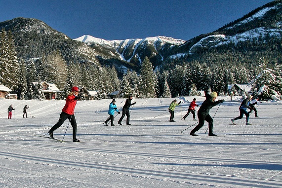
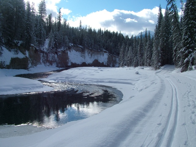
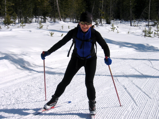
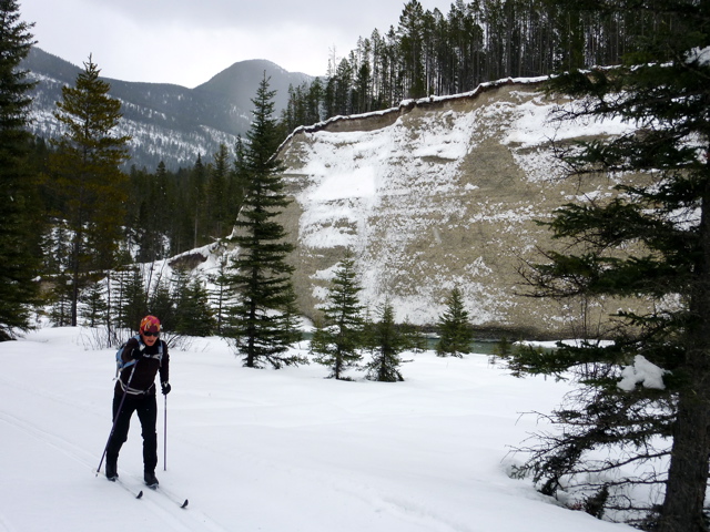
The Nipika Mountain Resort/ Cross River Canyon Recreation Area is the largest concentration of year round multi-use non-motorized trails in the Rockies. The Trail system is a partnership between Nipika Mountain Resort and Recreational Sites & Trails BC. The system consists of 50 km of cross country ski trails, groomed for both classic & skate skiing, and an additional 50 km of challenging single track trails. Snow grooming is done with a Bombardier 275 snow cat. The trail networks are maintained for cross country skiing, mountain biking, hiking, wildlife and bird viewing, trail running, snowshoeing, and fat biking in winter. The entire area is legislated as a non-motorized recreation area, shooting of any firearms is prohibited. The trails are divided into three separate areas, Nipika North, Nipika South and the Kootenay Krusher Trail. Nipika South extends from the trailhead at Nipika along the Kootenay River Valley and Palliser Forest Service Road. It encompasses an area of approximately 250 hectares of land overlooking the beautiful Kootenay River, and the Kootenay Krusher Trail. Nipika North & South include trails specifically for cross country skiing, snowshoeing, year round mountain biking, trail running and hiking. All the trails include some beautiful beaches along the Kootenay River for lunch breaks. The entire system includes a wide range of difficulty, with loops designed for all abilities and levels of fitness from easy to double black diamond sections. The ski season usually starts in late November or early December and lasts until the end of March. The summer season runs from April to November. The trails are open year round. Please see the separate descriptions for Nipika North and Kootenay Krusher Trails.

Directions to Trail Head
Set your odometer to zero at the traffic lights on Highway 93/95 at the Invermere junction. Head north for 13 km to Radium. Turn right at the 4 way stop sign onto Highway 93 into Kootenay National Park (No park pass required if driving through to Nipika or Cross River Canyon Recrecreation Area). At 33 km, turn right onto Settlers Road. At 45 km (the 12 km marker on Settlers Road) turn left onto the Palliser Forest Service Road. Cross the Kootenay River Bridge, drive up the hill, and turn left into the Nipika Day Use parking area.

Detailed Map

Trail Surface
Groomed for classic & skate skiing

Trail Season
Year round

Points of Interest

Land Access Issues
Non-motorized, non-shooting
Trail Features
Print Trail Information