
Mount Bruce
Columbia Valley Greenways Trail Alliance
Invermere
-
6.80 km
Distance
-
642.35 mElevation Gain

-
1863.93 mTrail Head Elevation

-
2506.28 mMaximum Elevation

-
653.48 mCumulative Elevation

-
2-3 hour(s)
Average Time
Click on an image to enlarge

Trail Description
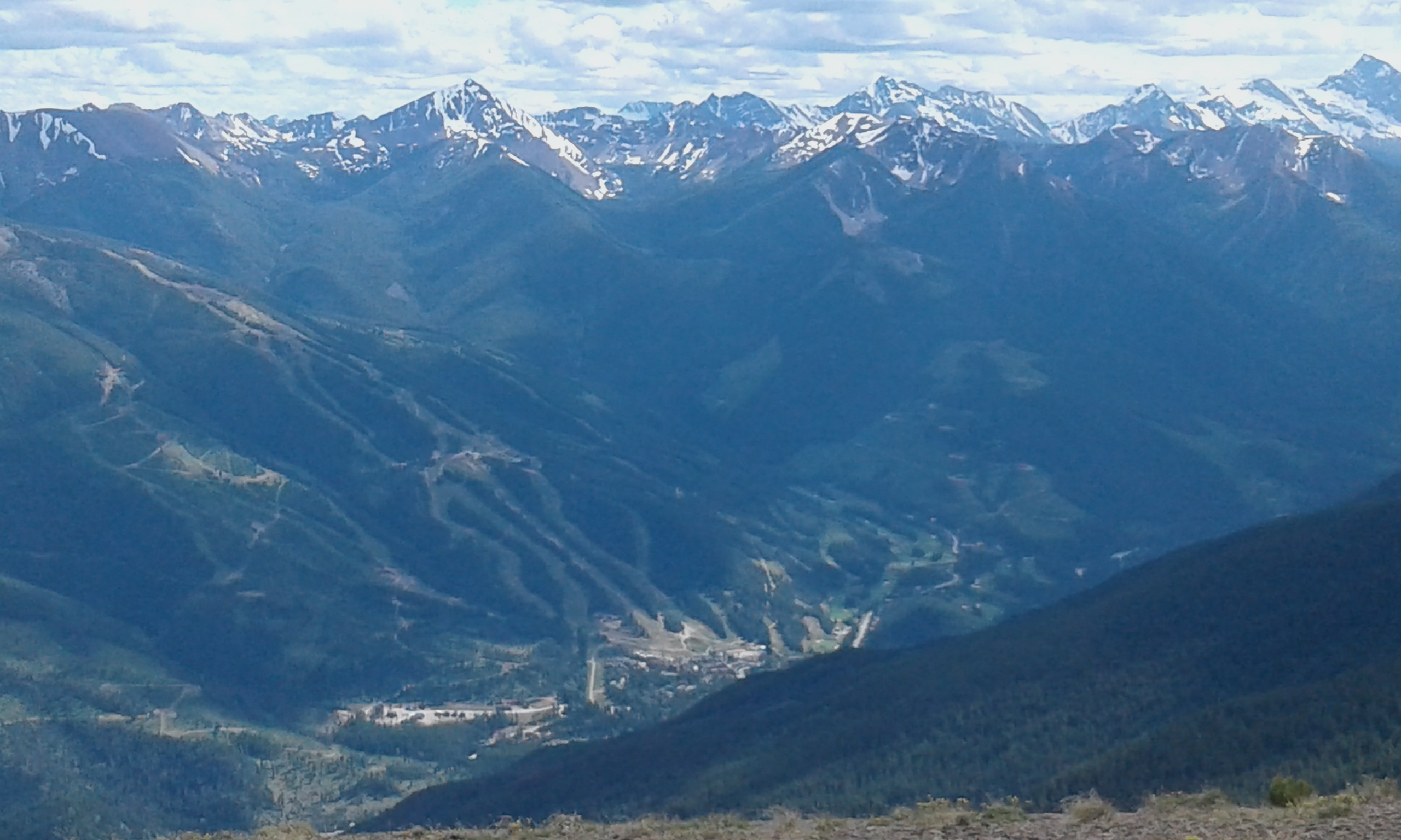
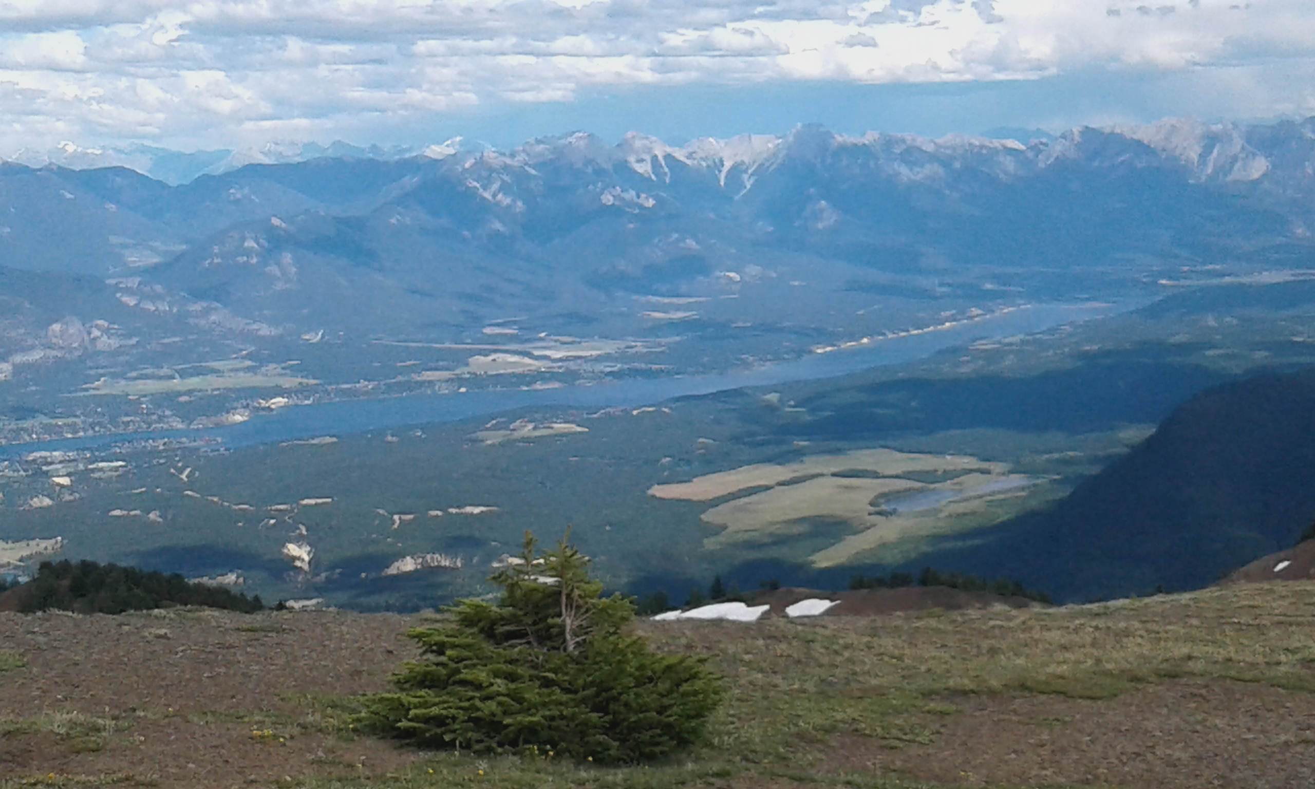
An hours drive gets you up high quickly into the sub alpine behind Wilmer. This makes a nice 1.5 hour run (return) or a 2-3 hour hike. From the Parking lot the trail head isn't entirely obvious, but its at the East end of the parking lot, up a steepish bank. The trail continues steeply for about 10 minutes and then eases back a for 10 minutes before entering the forest and immediately crossing a stream, which is your best bet for water. A notched log "pipe", makes a good place to fill the water bottle. Trail climbs sharply beside some old rocky moraine and eventually climbs up through the trees on well formed trail. Heads climbers right over some shale and then up through thining trees. Heads left as it opens out over some interesting scree and then pulls up suddenly onto a plateau. Take note of the marker trees as you must descend at this exact spot and the trail is not well marked from this point. Look out for the odd cairn. Walk directly towards invermere and as you roll over the crest of the hill, you will be rewarded with gorgeous views over the Lake Windermere, Invermere and Lake Enid. You'll even be looking down on tiny Mt Swansea.

Directions to Trail Head
Turn left at Wilmer and keep going on the main drag for about an hour. The last 20 minutes drive climbs quite steeply. Park carefully and respecfully and leave room for other vehicles as the parking space only holds about 6 cars.

Detailed Map

Elevation Profile

Trail Surface
Summit Trailmakers have done a great job improving the surface of this trail. There is a fallen log. But running shoes is fine.

Trail Season
Snow patches along the summit ridge are usually go

Points of Interest
Print Trail Information
This is a great way to get up high quickly near invermere and get great views over the columbia valley.