
Pinto Mountain
Columbia Valley Greenways Trail Alliance
Pinto Mountain
-
9.80 km
Distance
-
Elevation Gain

-
Trail Head Elevation

-
Maximum Elevation

-
Cumulative Elevation

-
3-5 hour(s)
Average Time
Click on an image to enlarge

Trail Description
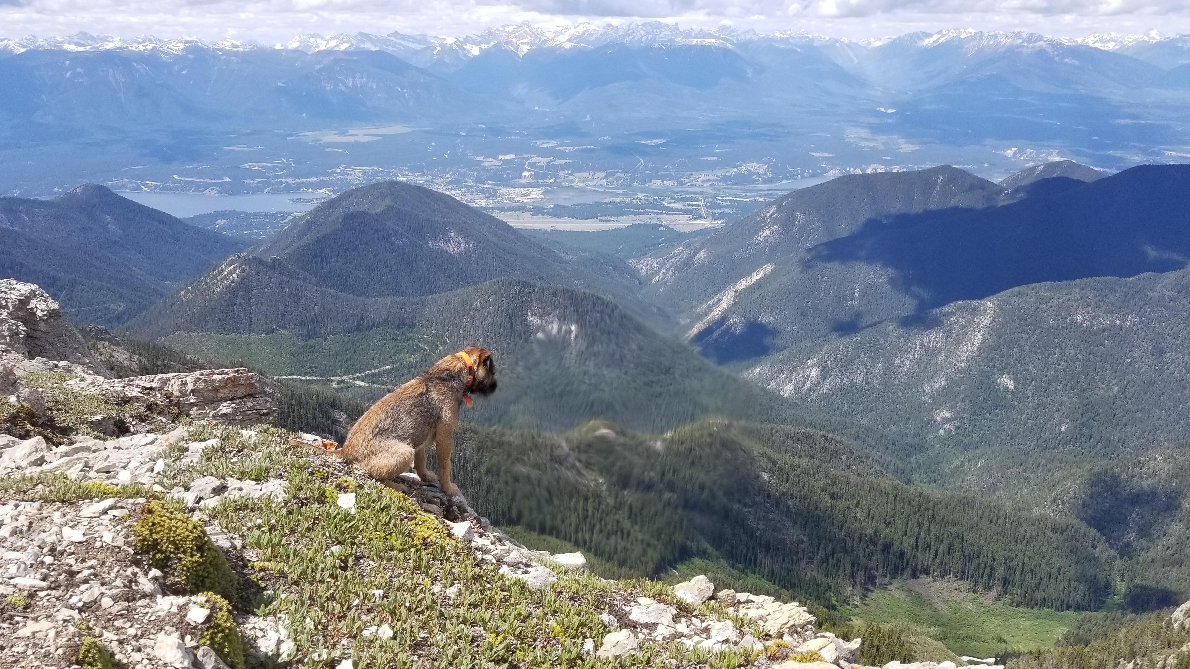
Thanks to Summit Trail makers this trail was benched and rerouted in 2018 after being sanctioned by the province. Only 35 mins from Invermere this is a popular trail early season trail that locals flock to. The trail head can be tricky to find and has changed a lot since Invermere Hikes book was published. Gets you up really high to 2500m about 750m higher than Swansea.We saw 18 locals and 4 Kimberly folk the day we went up. Snow free by mid June one of the earliest alpine walks to open up.

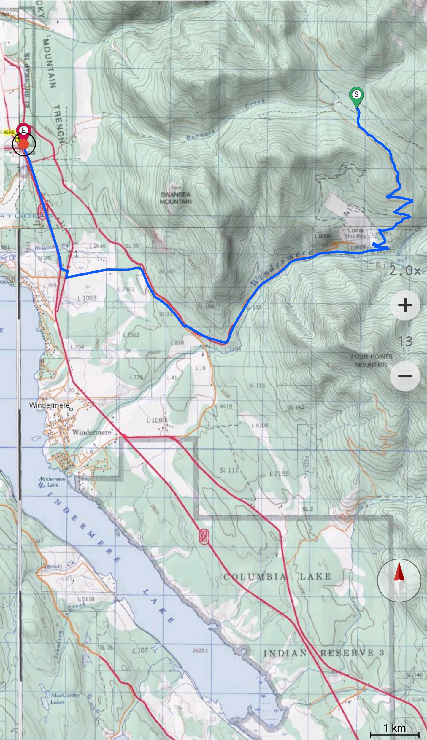
Directions to Trail Head
See image. Windermere loop road Turn onto Mine Haul road. take first left. Follow occasional flags not the Cameron/gunn description

Detailed Map

Elevation Profile

Trail Surface
Well benched dirt and rocks.

Trail Season
June-Oct

Points of Interest

Uncommon Hazards
Possible Grizzlies. Bearspray.
Print Trail Information
You must be logged in to leave a review/comment.