
Ptarmigan Lake - Recreation Sites and Trails BC
Columbia Valley Greenways Trail Alliance
Whiteswan Lake
-
12.74 km
Distance
-
675.85 mElevation Gain

-
1220.25 mTrail Head Elevation

-
1896.11 mMaximum Elevation

-
711.34 mCumulative Elevation

-
5-7 hour(s)
Average Time
Click on an image to enlarge

Trail Description
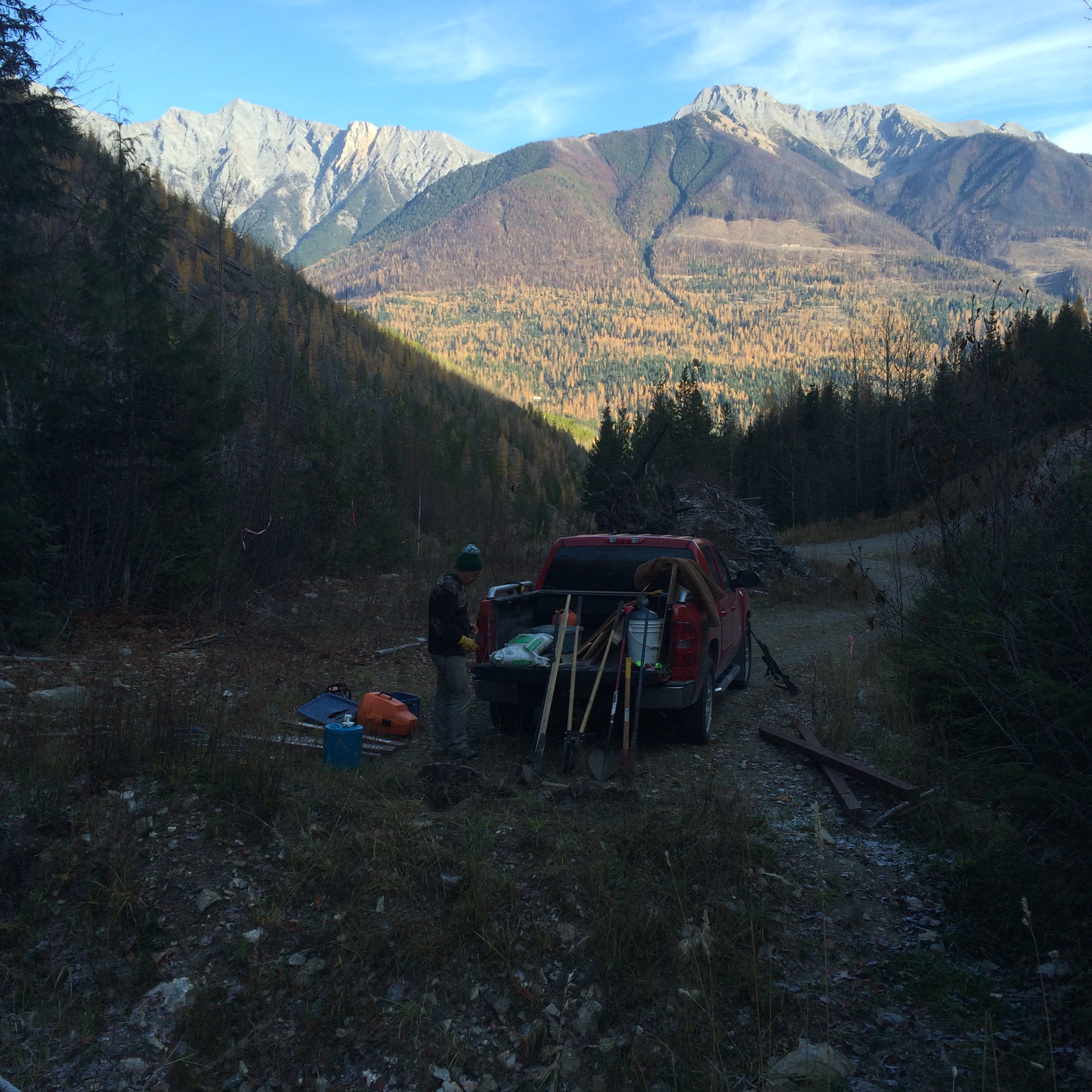
This was at one time a short, steep hike with a rewarding view at the end of the trail of a shimmering mountain lake framed by nearly vertical cliffs. The steepness and the views are still there, but you now have to work a little harder to get to your destination. The last 3.5 km of the access road has been deactivated and is now a part of your hike. While you would no doubt rather be riding, there is lots of scenery to appreciate as you navigate old slide paths and waterbar crossings. At the end of the deactivated road, follow a faint logging road through an old cut block. At 4 km, look for a sign marking a trail that cuts off the right. Another 200 m up the trail, it turns right again, descending to a creek crossing at 4.4 km. From the creek, the trail steepens significantly for the next 300 m. That’s followed by more moderate grades for 500 m, and then the final 1 km push to the top up another steep slope. As you crest the final ridge you are greeted by the clear waters of Ptarmigan Lake against the backdrop of White Knight Peak which rises to an elevation of 2600 m. A great spot to enjoy your lunch as you dip your feet into the cool water of the lake.

Directions to Trail Head
A mix of highway and gravel road to the trailhead, no need for a high clearance vehicle. From the Invermere junction on Highway 93/95, head south for about 53 km. Turn left at the Whiteswan Provincial Park sign. Set your odometer to zero. At 21 km, stay on the main road to the left. You will pass both Alces Lake and Whiteswan Lake on your left. At 30 km, turn left on the White Moscow Forest Service Road towards the Home Basin Campground. At 31 km, turn right at the junction (left takes you to the Home Basin Campground). At 36 km, turn left onto the White Ptarmigan Main Forest Service Road. At 36.5 km, turn right at the junction (signed Caution Road Closed). Drive another 100 m and park at the end of the road.

Detailed Map

Elevation Profile

Planned Mainenance and Trail Events
Trail clearing - 2016?

Trail Surface
Variable outdoor terrain

Trail Season
Late June - October

Points of Interest
Print Trail Information