
Sinclair Creek Greenway - Village of Radium Hot Springs
Columbia Valley Greenways Trail Alliance
Radium Hot Springs
-
4.00 km
Distance
-
64.50 mElevation Gain

-
877.52 mTrail Head Elevation

-
880.18 mMaximum Elevation

-
142.03 mCumulative Elevation

-
<1 hour(s)
Average Time
Click on an image to enlarge

Trail Description
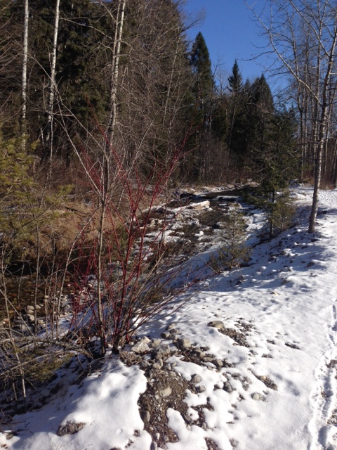
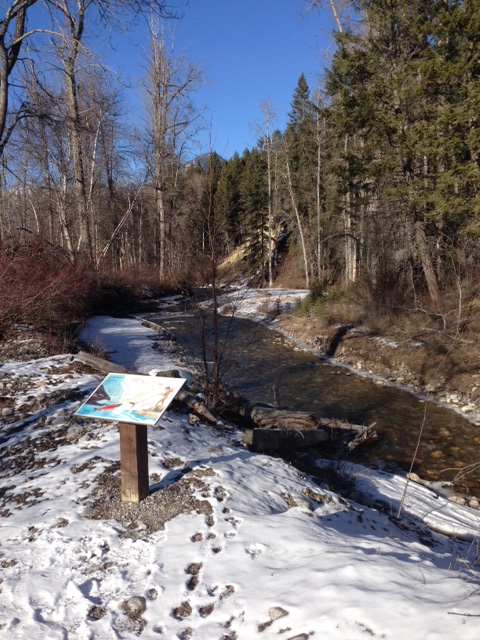
A gem of a trail right in Radium with super easy access. The trail from the lower parking lot is relatively flat as it follows the banks of Sinclair Creek in a 2 km loop that crosses the creek with bridges in 2 places. Interpretive signs tell of restoration efforts, salmon spawning and irrigation work in the past. This is an off leash area for dogs. There are 2 picnic tables close to the lower parking lot and several benches along the way. A nice oasis which is perfect for an afternoon picnic. Add another 2 km and 40 - 60 metres in elevation gain/loss by hiking the offshoots that go to Rotary Park or the residential area to the north.

Directions to Trail Head
Set your odometer to zero at the traffic lights on Highway 93/95 at the Invermere junction. Head north for 13 km to Radium. Turn left at the 4 way stop in Radium. Park at Rotary Park to your immediate right, or to continue on to the lower parking lot, turn right at the 3 way fork at 14.5 km. Then turn left at 15 km and proceed to the parking lot 15.4 km.

Detailed Map

Elevation Profile

Trail Surface
Gravel

Trail Season
Year round

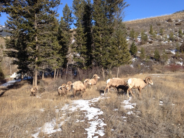
Points of Interest
Print Trail Information