Source of the Columbia Pathway - Village of Canal Flats
Columbia Valley Greenways Trail Alliance
Canal Flats
-
1.80 km
Distance
-
2.95 mElevation Gain
-
809.16 mTrail Head Elevation
-
812.00 mMaximum Elevation
-
7.43 mCumulative Elevation
-
<1 hour(s)
Average Time

Trail Description
Humble beginnings - this is the source of the mighty Columbia. A wide gravelled 1.5 km loop path with no elevation gain winds through the wetlands which give birth to the Columbia River. A picnic table is situated a few hundred meters down the trail and several benches and interpretive signs along the way make this a great educational outing for the whole family.

Directions to Trail Head
From the traffic lights on Highway 93/95 at the Invermere junction, drive south for approximately 45 km to Canal Flats. Turn left on the first exit into Canal Flats on Burns Ave. Drive 0.7 km and turn left on Shaughnessy St. After 0.4 km, turn left on Beatty Ave, then after another 200 m turn right onto the old airstrip which is now a road. The road ends after 500 m at a parking lot with an interpretive sign and an outhouse.
Detailed Map

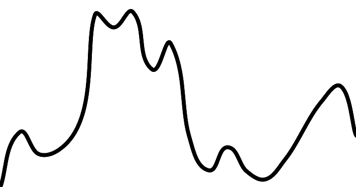
Elevation Profile

Trail Surface
Gravel

Trail Season
Year round

Points of Interest
Trail Features
Print Trail Information
