Lake Enid Trail - Recreation Sites and Trails BC
Columbia Valley Greenways Trail Alliance
West of Wilmer
-
2.67 km
Distance
-
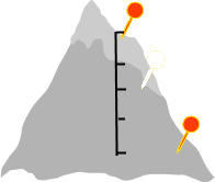
24.79 mElevation Gain
-
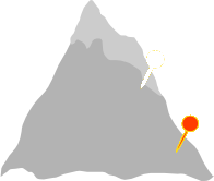
965.01 mTrail Head Elevation
-
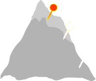
988.79 mMaximum Elevation
-
60.24 mCumulative Elevation

-
<1 hour(s)
Average Time

Trail Description
Lake Enid is a multi-use site, popular with both locals and visitors. That means a lot of campers, mountain bikers, hikers, and people on quads and dirt bikes. In the last few years, some of the damage done adjacent to the lake by motor bikes and quads has been repaired by volunteers. There has also been an effort to provide areas around the lake that are appropriate for motorized use. It's a beautiful little lake, and its popularity can result in signs of overuse, particularly from people who are not always diligent in making sure they leave the area as pristine as it was when they arrived. That being said, the 2.6 km walk around the lake is magnificent. The trail runs through forests and open grasslands with great views from different vantage points of the surrounding mountain peaks. This is an all season trail; snowshoeing in the winter, hiking and biking in the other three seasons. There are also a lot of offshoot trails to ride or just explore with a leisurely walk. If you would like to enjoy the lake without the crowds, the best time to visit is in the spring or fall. For more information http://www.sitesandtrailsbc.ca/

Directions to Trail Head
Set your odometer to zero at the traffic lights on Highway 93/95 at the Invermere junction. Go west into Invermere. At 2.6 km turn right onto Panorama Drive. At 4.5 km just after the Toby Creek Bridge, turn right toward Wilmer. At 7.1 km turn right onto Main Ave. At 7.3 km turn left on Park Street. At 7.7 km the pavement ends. Park Street becomes Horsethief Road and at 10.4 km becomes Bruce Creek Forest Service Road. At 13.1 km turn right at the fork. The Lake Enid parking lot is at 13.7 km.
Detailed Map

Elevation Profile

Trail Surface
grasslands and dirt trail
Trail Season
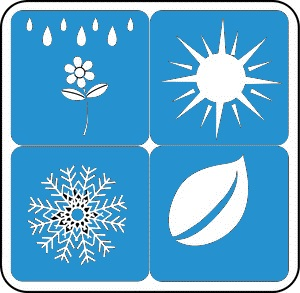
Year round depending on snow depths

Points of Interest

Land Access Issues
Please stay on the trail to avoid sensitive bird nesting areas.
Trail Features
Print Trail Information
