Redstreak Loop - Kootenay National Park
Columbia Valley Greenways Trail Alliance
Kootenay National Park
-
1.55 km
Distance
-
97.12 mElevation Gain
-
1015.64 mTrail Head Elevation
-
1112.76 mMaximum Elevation
-
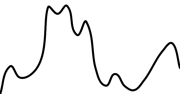
145.08 mCumulative Elevation
-
<1 hour(s)
Average Time

Trail Description
An easy short loop through mostly forested slopes with views of the Radium Valley and Purcell Mountains.

Directions to Trail Head
Set your odometer to zero at the traffic lights on highway 93/95 at the Invermere junction. Head north to Radium. At 12.5 km turn right at the Visitor Center. Follow the road for 2 km to Redstreak Campground. The trail is just east of the campsites at the far end of the campground. A Park pass is required to use the campground.
Detailed Map

Elevation Profile

Trail Surface
Variable outdoor terrain

Trail Season
Year round depending on snow depths

Points of Interest
Trail Features
Print Trail Information
You must be logged in to leave a review/comment.
