
Whiteswan Lake Trail (one way distances)
Columbia Valley Greenways Trail Alliance
Whiteswan Provincial Park
-
7.51 km
Distance
-
49.89 mElevation Gain

-
1148.37 mTrail Head Elevation

-
1195.96 mMaximum Elevation

-
298.48 mCumulative Elevation

-
3-5 hour(s)
Average Time
Click on an image to enlarge

Trail Description
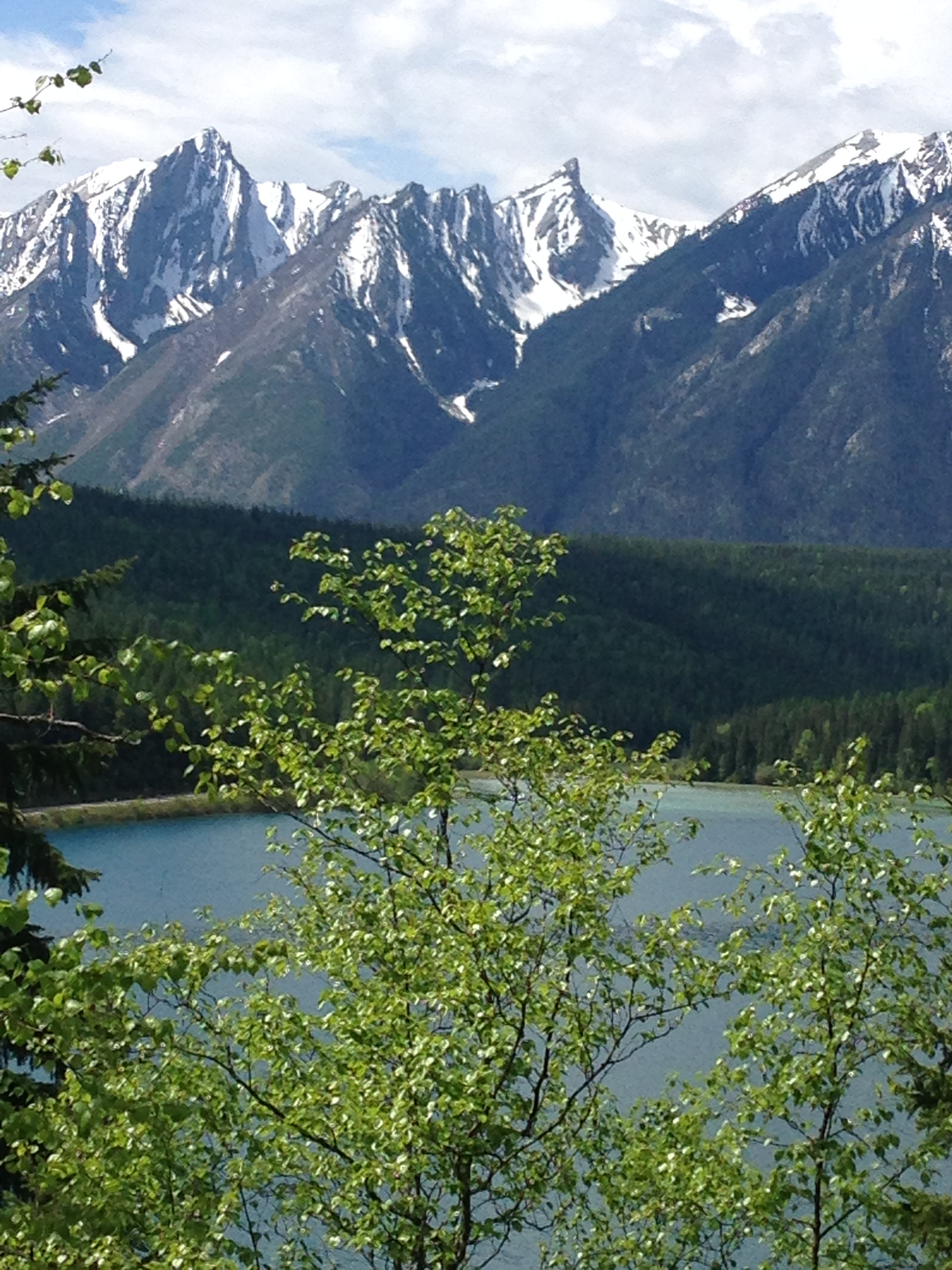
If you love camping and spending time in the outdoors, Whiteswan is an area not to be missed. In addition to the camping, there’s canoeing, fishing, hiking and lots of opportunity to see wildlife. As an added bonus there’s no WiFi or Internet to distract either you or the kids. The trail starts at the campground and runs along the edge of Whiteswan Lake. It passes through a forested section and then skirts another lake - Alces or Moose Lake - before ending at the Alces campground. Perfect early season hike or later in the year with a birds eye view of all the fishermen who frequent the lakes. And to top off your hike, great views of the Rocky Mountains including Shark Tooth Mountain off to the southwest.

Directions to Trail Head
Highway and gravel road – high clearance not necessary. Set your odometer to zero at the traffic lights on Highway 93/95 at the Invermere junction. Travel south past Canal Flats. At 53 km turn left onto the Whiteswan Lake Forest Service Road at a sign for Whiteswan Lake Provincial Park. At 78 km turn left at a sign for the Home Basin Campground. At 85 km turn left at the T-junction. Continue to where road ends at the campground. If you are planning to hike just one way, you will need to have a vehicle at the Alces campground.

Detailed Map

Elevation Profile

Trail Surface
Variable outdoor terrain

Trail Season
Late spring to late fall

Points of Interest
Trail Features
Print Trail Information