
Bear Lake - Recreation Sites and Trails BC
Columbia Valley Greenways Trail Alliance
Northeast of Fort Steele
-
5.74 km
Distance
-
565.43 mElevation Gain

-
1842.24 mTrail Head Elevation

-
2407.67 mMaximum Elevation

-
663.46 mCumulative Elevation

-
3-5 hour(s)
Average Time
Click on an image to enlarge

Trail Description
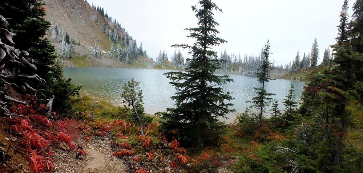
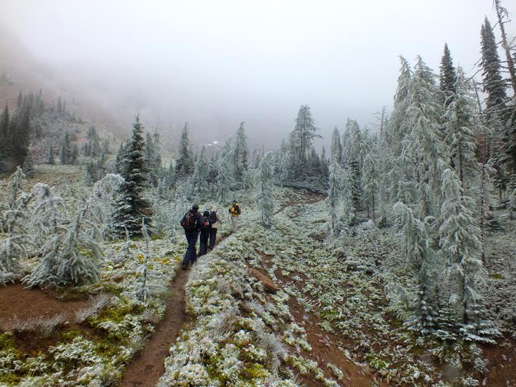
This trail is often still snow covered in early June, but if it’s passable, it makes for a great early season hike. The trail starts on a fairly steep slope through a subalpine forest of fir and Engelmann spruce. As the trail leaves the forest, it opens up to a natural dam of white boulders. After ascending the final ridge, you’ll see Bear Lake nestled in a bowl shaped valley. Getting to the lake takes just over an hour, but there’s a lot more to see if you are up for a slightly longer hike. Take the path along the meadows on the north side of the lake and scramble up a scree slope. This little side trip takes you to a spectacular ridge that can be explored in both directions. Ruault Lake lies to the east with Summer Lake visible further east, backed by the Empire State and Chrysler Peaks. You can see Mount Rualt to the south. If you are experienced at route finding and are equipped for backpacking, you can continue onto Summer Lake and Top of the World Provincial Park from this area.

Directions to Trail Head
High clearance vehicle needed. Set your odometer to zero at the Invermere junction on Highway 93/95. Head south for about 114 kms. Turn left onto the Wardner-Fort Steele road at the Esso station just before you get to Fort Steele. At 114.2 km, turn left onto Wildhorse Road. At 133 km cross the Small Tackle Creek bridge, at 133.5 km cross the Wild Horse Creek bridge, and then at 134 km turn right at the junction onto a steep uphill side road. Park at 139 km in the first parking lot or continue on if you have a 4X4 that can cross a creek. The trailhead is at 140 km.

Detailed Map

Elevation Profile

Trail Surface
Variable outdoor terrain

Trail Season
Early summer to late fall.

Points of Interest
Print Trail Information